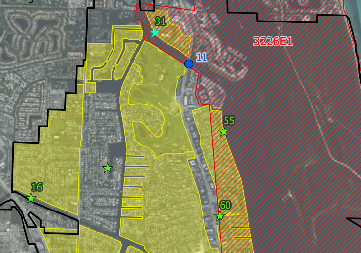
Geographic Information Systems (GIS)

Mock•Roos has a wealth of experience in data collection, asset management, condition assessments, and project management necessary for completing large-scale GIS data acquisition projects. Mock•Roos has used ESRI's Arc suite of GIS software since the early 1990s. We have completed many significant GIS deliverables, including a utility catalog of water, sewer, and stormwater systems for West Palm Beach and an interactive water quality modeling and assessment tool for the Suwannee River Water Management District.
Mock•Roos staff frequently uses GIS to manage the large volumes of data necessary for building complex computer models of real-world systems (e.g., water distribution systems, stormwater management systems, etc.).